Nine months ago our family went on a journey by car from Ontario to the Yukon. Recently we embarked on another road trip, this time throughout the Yukon and south to Alberta. On August 16 we packed our 5'X8' trailer with all of our belongings (well, not all of them, what didn't fit we either sold or gave away) and camping gear and we set off.
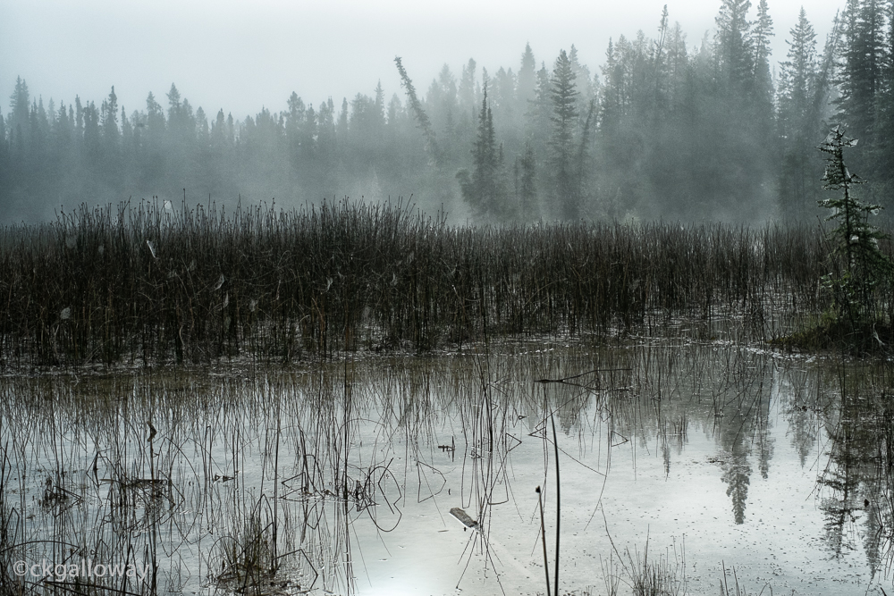
A pond off Canol Road near Ross River, Yukon.
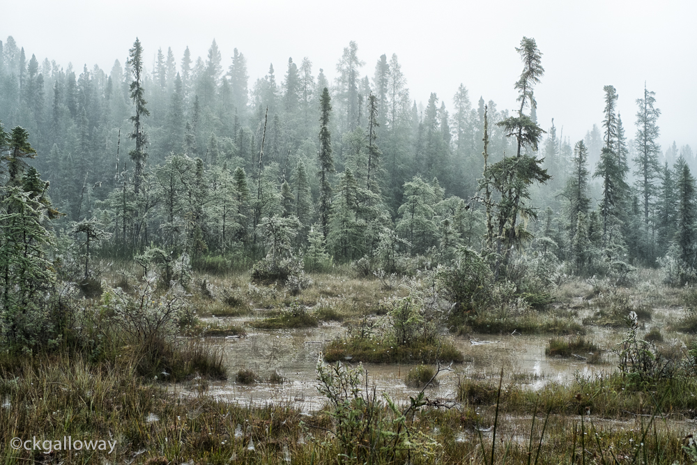
Day 1, Aug 16 : Canol Road : Whitehorse to Lapie Canyon - This was a long day. The Canol Road is so riddled with potholes that our maximum speed was about 50 km/h. We were planning on camping at one of the Quiet Lake sites but we decided to continue on to Lapie Canyon. The Canol Road started off a little boring, but as we neared Ross River it became spectacular. Unfortunately by the time we got to the scenic part, it was past 9pm and the light was dim. We arrived at about 10:30pm and had to use our headlights to set up camp. The site was gorgeous but we didn't spend much time there and headed out early the next morning.
Pins marking visitors to Faro, Yukon.
Day 2, Aug 17 : Robert Campbell Highway & Klondike Highway & Dempster Highway : Lapie Canyon to Tombstone National Park - It was a relief to be on paved roads again and the kilometres passed quickly. We stopped in at Faro and learned a bit about the project to clean up the aftermath of the mining operation there (basically making busy work for people cleaning an unclean able mess).
Oscar on the Grizzly Trail at Tombstone National Park.
The drive to Tombstone National Park on the Dempster Highway was gorgeous, but once we got to the campground we realized it was a long week-end in the Yukon and all the sites were taken. We found a site reserved for groups that could be used for overflow camping after 8pm so we decided to wait it out. In the meantime, I took Ozzie and Maggie on a hike. We ended up staying in the overflow site which was fortunate because it had a huge covered area and it rained until we left the next day.
The Palace Grand Theatre in Dawson, Yukon.
Day 3, Aug 18 : Top of the World Highway & Taylor Highway : Tombstone National Park to West Fork Campground (somewhere between Chicken and Tok) - We set out early in the rain and stopped in Dawson for some lunch at my favourite Dawson restaurant, Triple Js. After hyping it up to Rich, they actually forgot about our order, although when it arrived it was delicious and they didn't charge us for our whole order. We wandered around town a bit. All of us loved Dawson and we filed it away as one of those places we would be happy to live in. We took a short, free ferry ride across the Yukon river and prepared ourselves for the wonders of the Top of the World Highway. And we saw.... nothing. Unless you consider featureless white something. We travelled the entire scenic route in a pea soup fog which didn't lift until we crossed into Alaska.
The "view" from the Top of the World Highway.
After the traditional border guard grumpiness we enjoyed our drive on until we found a lovely place to camp at the West Fork campground for a mere ten bucks featuring a majestic view of the Fortymile River.
West Fork of the Fortymile River, Alaska.
Day 4, Aug 19 : Alaska Highway : West Fork to Haines Junction - After leaving our little paradise in West Fork we took a slight detour to Tok. Much of the highway was on flats with mountains in the distance. It was less majestic than Canol road but interesting in it's own way.
The road to Tok, Alaska.
In Tok, we indulged in some good ol' American tourist shopping including some overpriced snacks, Alaska travel mugs and, of course, heaps of fudge. On slight sugar high we motored on to the Canadian border where we encountered yet another grumpy border guard. This time he almost turned us back because we had too much mud on our truck. To be fair, we did have a lot of mud on our truck, all from the Top of the World highway in Canada though. He grudgingly let us through saying, "If you were American, I'd 'ave turned you back.” Good to know. I have an unsubstantiated theory that border guards in remote location have been sent to "Alaska" as punishment for some infraction which may explain their crotchety demeanour.
The back of our 4Runner.
Between Beaver Creek and Haines Junction, by far the best scenery was at the Kluane Lake, beautifully serene and an unusual shade of blue. Unfortunately I was driving (under the back-seat driver scrutiny of Richard) so I don't have any photos. We camped at the nearly-empty Pine Lake campground that night, and enjoyed having the beach to ourselves.
The evening sun on some trees (Pine trees, I would guess?) at Pine Lake, Yukon.
Oscar enjoying a peaceful morning at Pine Lake, Yukon.
Day 5, Aug 20 : Alaska Highway : Haines Junction to Rancheria - After a gorgeous morning enjoying Pine Lake, the wheels came off in Whitehorse. Literally. We had the wheels taken off our car by our old neighbour and mechanic Rick so we could get all of the mud off with a wire brush. Rick's driveway ended up with a fine coating of End of the World Highway dust and we drove off with a functioning 4Runner. Then we picked up our trailer, said good-bye to Whitehorse and started retracing our route along the Alaska Highway we took in January. This time the surroundings were covered in green instead of snow and looked completely different. We drove towards the arch of a full rainbow for a good hour through the area around Teslin.
The bridge in Teslin (with bonus rainbow.)
Chasing a rainbow on the Alaska Highway near Teslin.
We set up camp late, at a slightly depressing government campground right off the Highway just before Watson Lake and went straight to bed.
The sign forest in Watson Lake. Yukon.
Day 6, Aug 21 : Alaska Highway : Rancheria, YT to Liard Hot Springs, BC - We stopped at the sign forest in Watson Lake. Somehow, we'd completely missed it in January. Ozzie raced around the maze of road signs, municipality signs and licence plates. We didn't have too far to go to get to our next stop, Liard Hot Springs. The second largest Hot Springs in Canada, Liard was busy but beautiful. The hot water was delightful after 6 days with no shower. We were a bit disconcerted by an uninvited visitor watching us from the bank of the river but the bear just munched on foliage and left us alone. We decided on a quick dip the next morning instead of staying another day as planned. The worries about finding a place to live in Red Deer urged us forward.
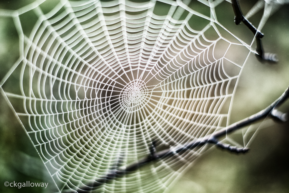
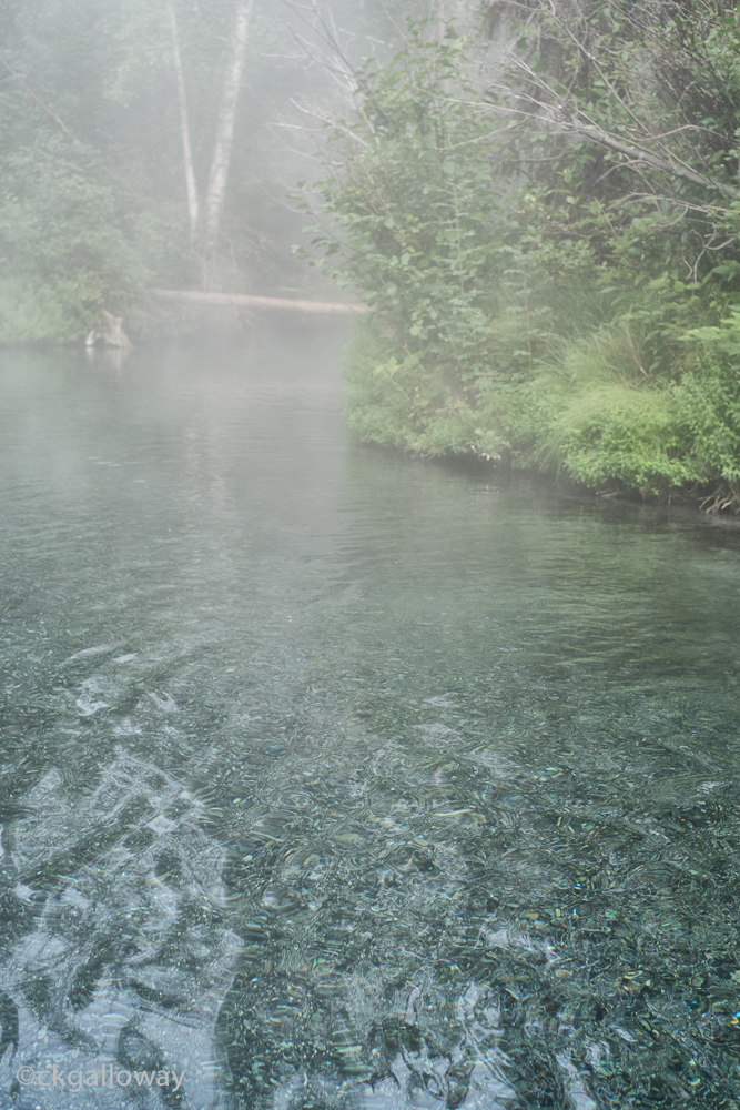
Day 7, Aug 22 : Alaska Highway : Liard Hot Springs, BC to Fort Nelson, BC - We woke up an had an early morning dip in the hot springs. Everything was eerily still. The spiderwebs, invisible during the day, were coated from the morning mist and outlined by the sun. Feeling refreshed, we packed up and headed south. The drive through northern BC was beautiful but was sad to see the landscape slowly change from mountains to rolling hills. We camped at a nice site in Andy Bailey Regional Park where we had a path from our campsite to the lake. Oscar and Maggie got lots of frolicking in before the next big leg in our journey.
One of our last mountain views in Northern British Columbia.
Oscar and Maggie playing at Andy Bailey Regional Park.
Day 8, Aug 23 : Alaska Highway, Hwy 43 : Fort Nelson, BC to Valleyview, AB - Either the marketing department for Alberta Parks is rubbish, or they are trying to keep the location of their campground secret from outsiders, but a trip to Tourist Information in Grande Prairie was necessary to track down our next camping spot. Once there, they were very helpful pointing us towards a campground. The only detraction from the lovely Young Point campground was the dead fish on the shore of the lake and the dire warnings posted about the lake water. The cautions for coming into contact with this water reminded me of the warnings on darkroom chemicals from my college days. Basically flush with fresh water immediately. Pretty, though.
Day 9, Aug 24 : Valleyview, AB to Red Deer, AB : Hwy 43, 2 - As we approached our final destination our thought turned to the challenges ahead. The scenery pretty much went by unnoticed as we were occupied inside our own heads. The last 60 kilometres seemed to take an extraordinarily long time, but finally we arrived, safe and sound, at the Lions Campground in Red Deer.
We’ve completed another 9 day journey to change our lives. Will we end up staying here? I’m not so sure. The north just felt like home. Time will tell. All thing being equal, after four months, Rich will be certified to teach in Canada and we will be able to finally settle down.
